The last few days I’ve been engaging in escapism of the purest sort. Frustrated with the world, with my “productive” projects, with Arthur’s curmudgeonly chaos, I’ve retreated into my own world.
After a long time away, I’ve returned to my mapping project for the imaginary city. This is cross-posted from my “other blog.”
I keep doing small historical edits for the city’s Metropolitan Area. I’m up to the year 1904 or so.
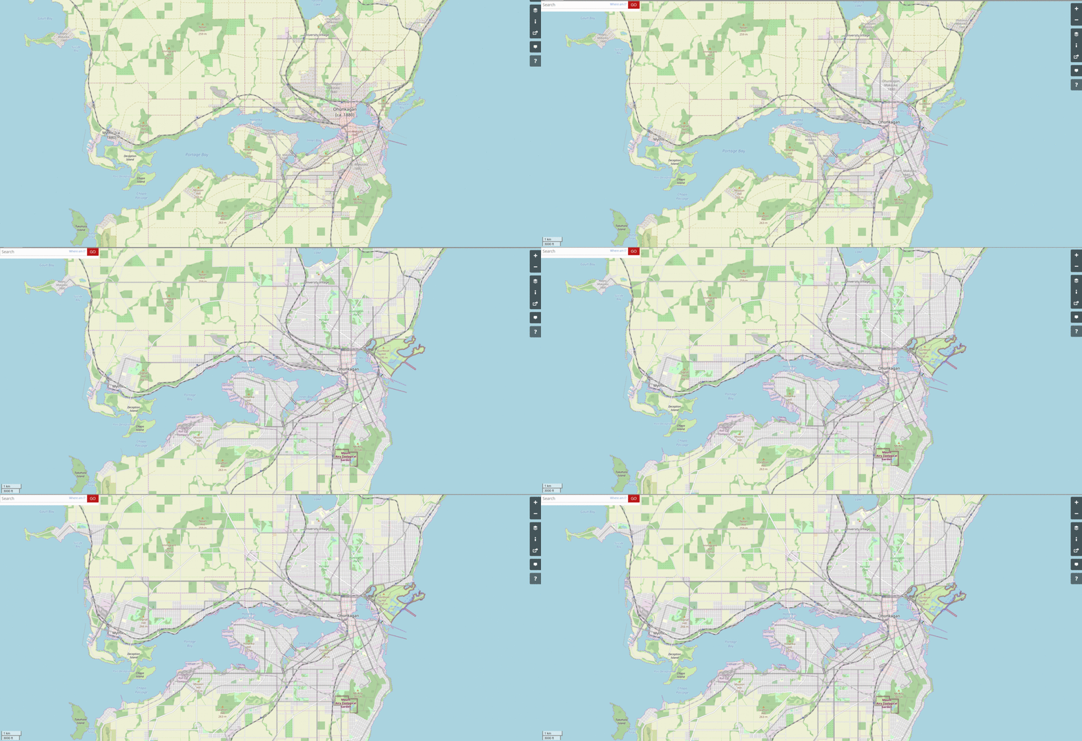
I made this cool gif of the mapping progress so far:

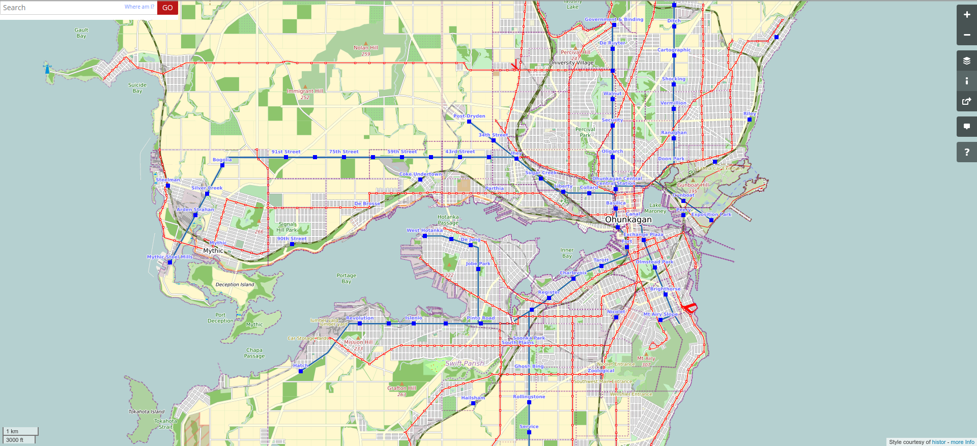
Here’s the transit network, on the same frame:

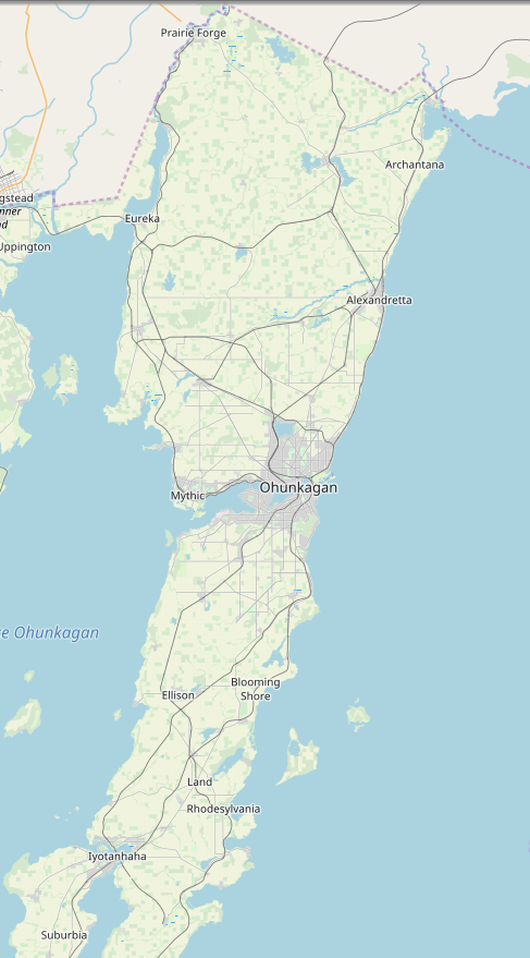
Here is a wider area view – I’m going to start a time series of screenshots for these, too, to show the growth of the metropolitan area.

I have been placing lots of industry and factories and such. I’m most proud of the rail-car factory, here.
![]()
