One of my duties at my new part-time job at the gift shop is learning the matting and framing skills, since the shop is the island’s only place where this service is provided.
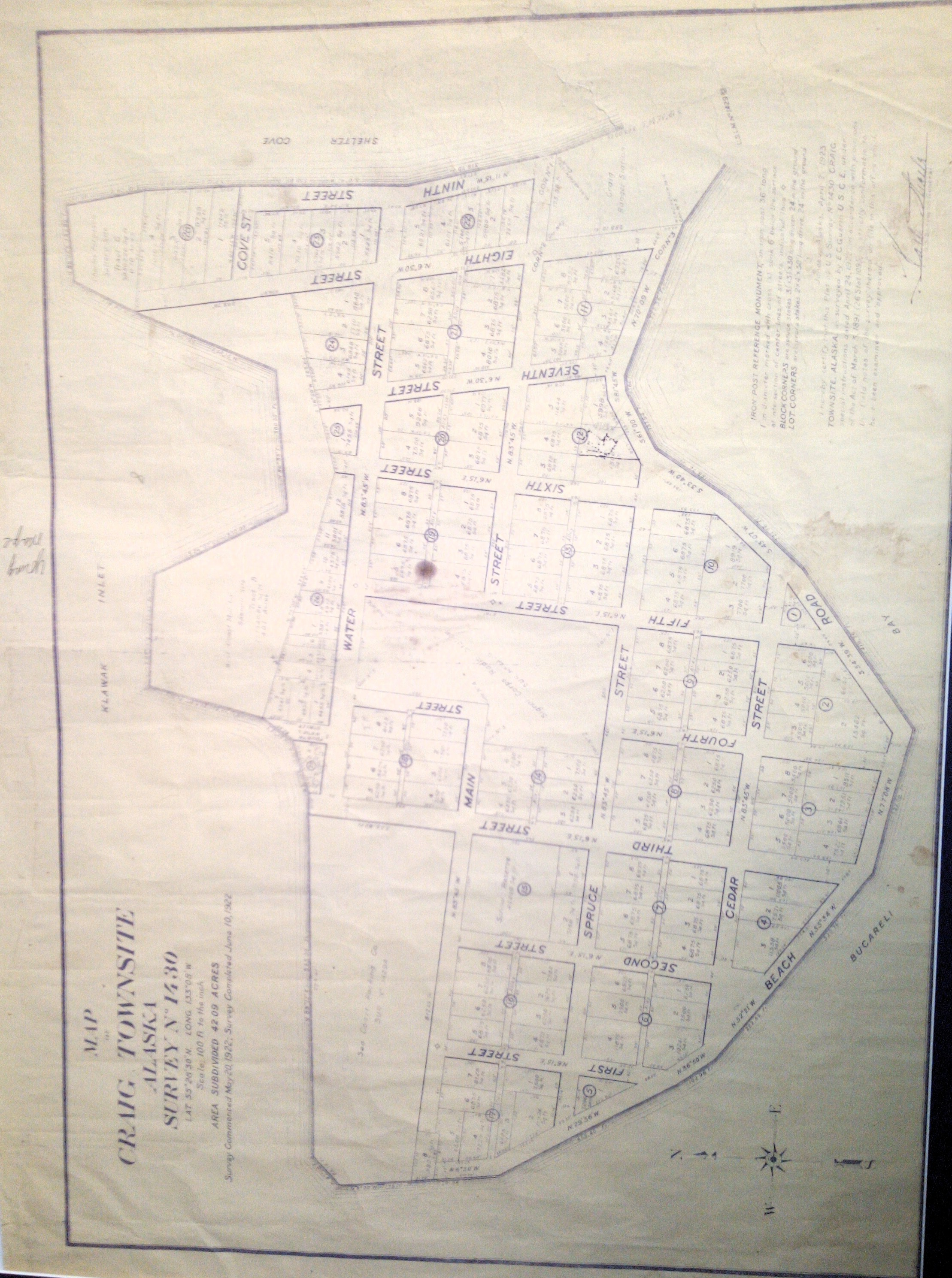
Today, a guy came in from Shaan-Seet (the native-owned corporation) with a 100-year-old map he wanted framed. I was pleased, since I like maps – especially old, interesting maps such as his. It was a blueprint map of the original Craig, Alaska, townsite. That was pretty cool. He was surprised how much Craig history I already knew, as a relative newcomer to the area. But that’s just my tendency, I guess, being a bit of a local history buff wherever I happen to be – I consider it a part of being in a place, to try to know its history.

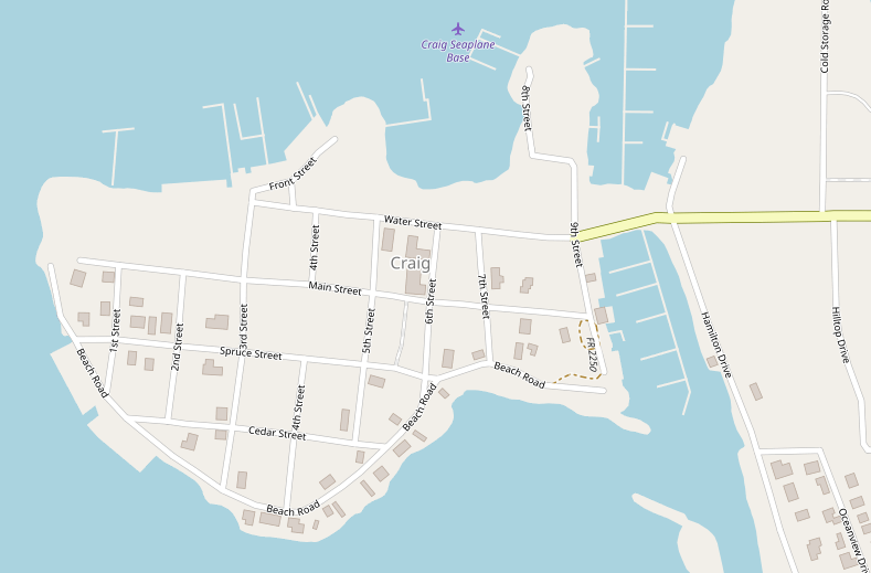
Craig used to be an island, shaped like a fish! Now it’s a peninsula, because a little isthmus was engineered (I think in 50’s?) off the eastern end of the island, connecting it to the mainland. That formed the two modern boat harbors, on the north and south side of the isthmus.

![]()
