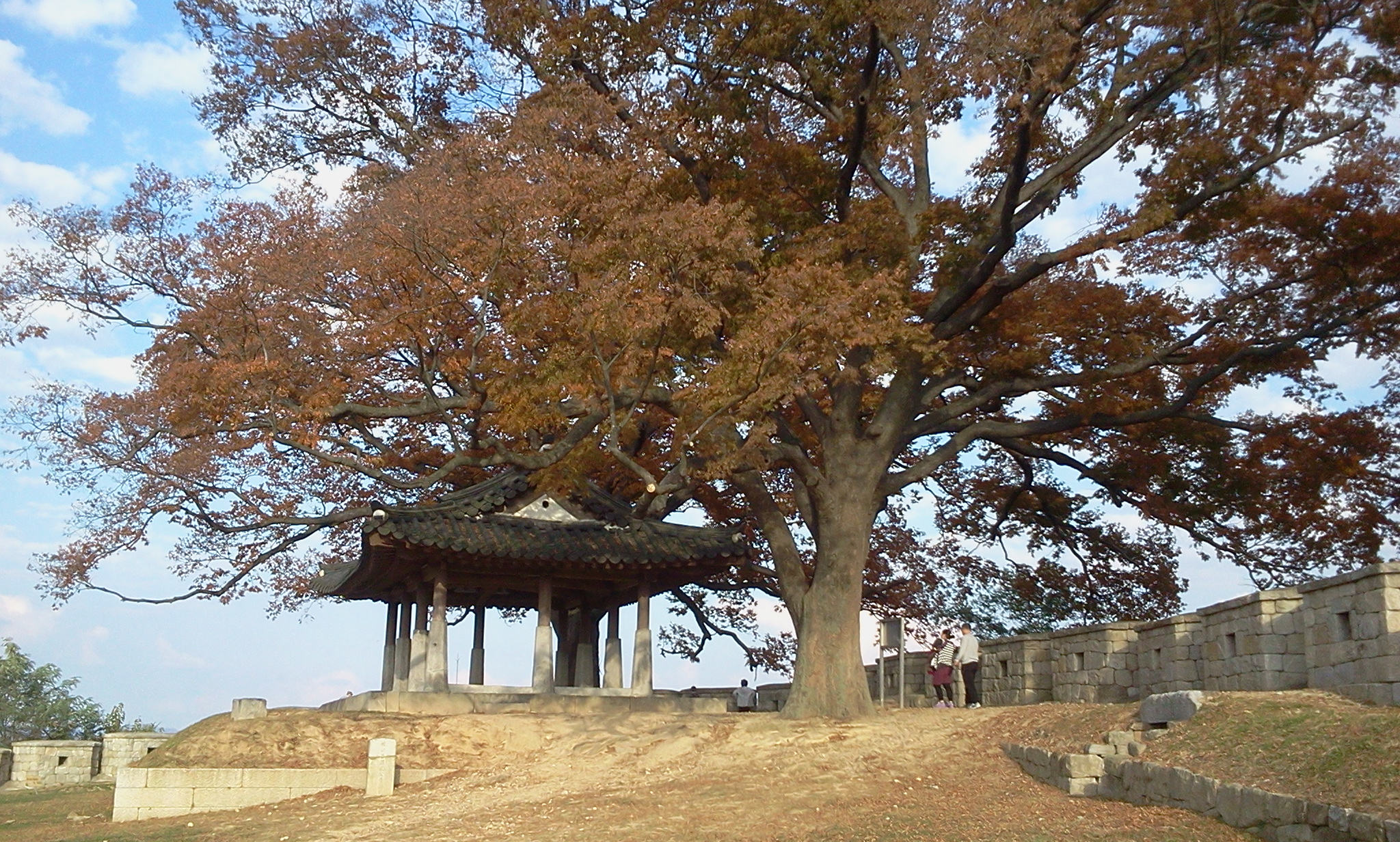
This tree is from my past. It was at a little historical park on the northern tip of Ganghwa Island, about 30 km northwest from my home in Ilsan, South Korea. I’d gone there when my mother was visiting me in Korea. I took the picture in October, 2013.
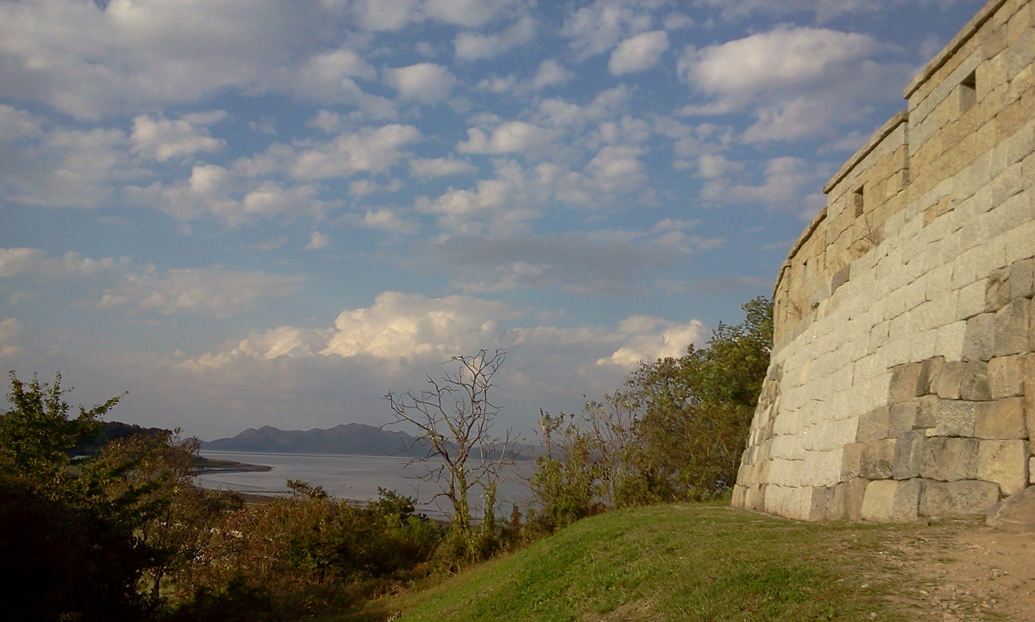
From the promontory at the little fortress there, you can see directly into North Korea, across the river – this is the part of the DMZ where the border runs in the river. A few hundred meters away from that tree, this is a view across the river. Those mountains in the distance are in North Korea. There are little coin-operated binoculars and you can look into the North Korean town over there.
![]()
Day: May 6, 2020
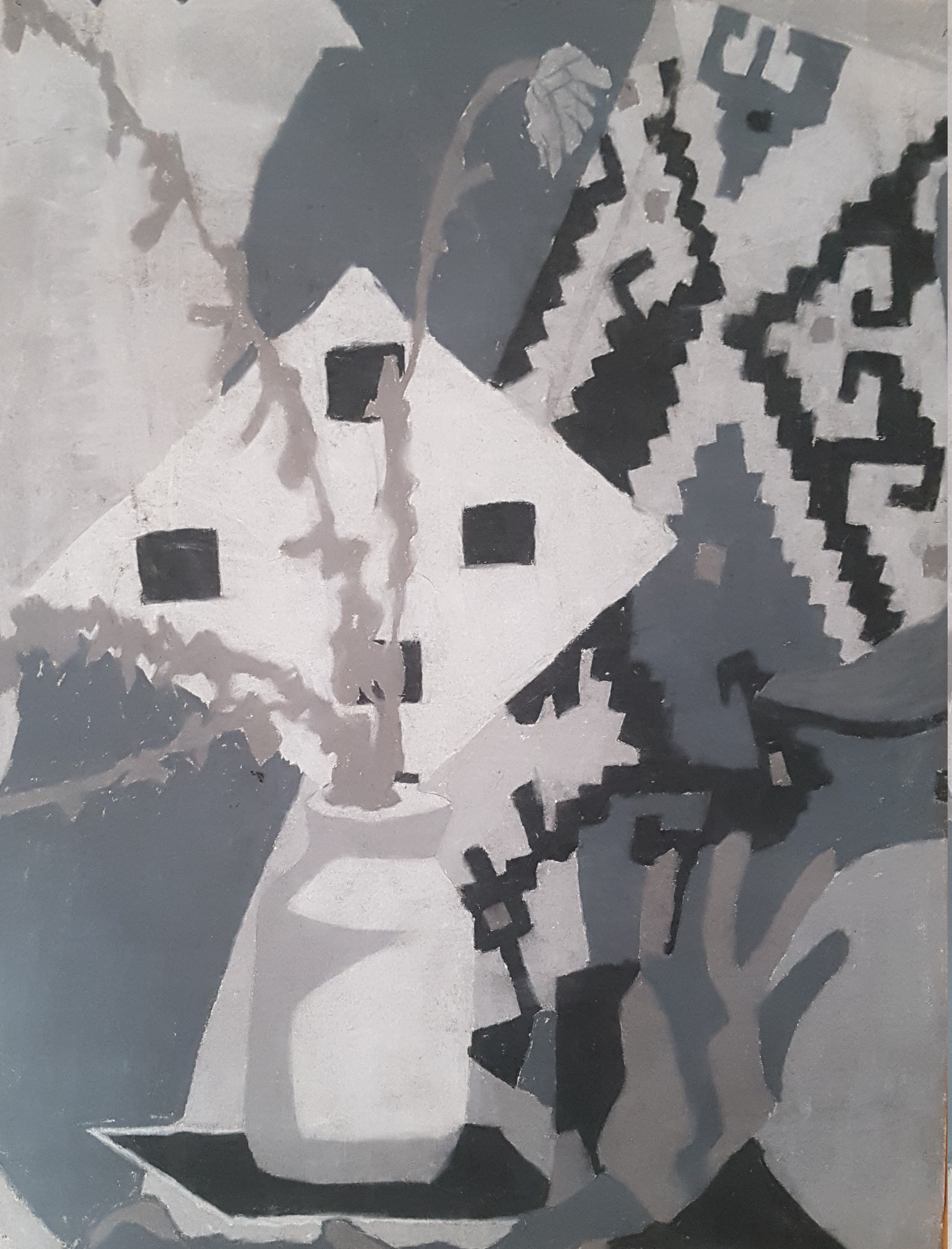
Caveat: Art #10
This is pastel from around 1988, I’m guessing. Possibly a still life but just as likely from a photo or my imagination.
![]()
Caveat: On random, square canyons
I’ve been trying to solve a strange programming problem on my map server. I have these files containing contour data (elevation data) for my fictional places. Because of the way this information is processed by the openstreetmap platform, I store this data split up into files divided along longitude and latitude lines. But that means there are boundary conditions between the files. When I use the specially-created terrain conversion tools on these files, I seem to often get strange “canyons” along the longitude and latitude lines. They look like this on the map’s contour render.
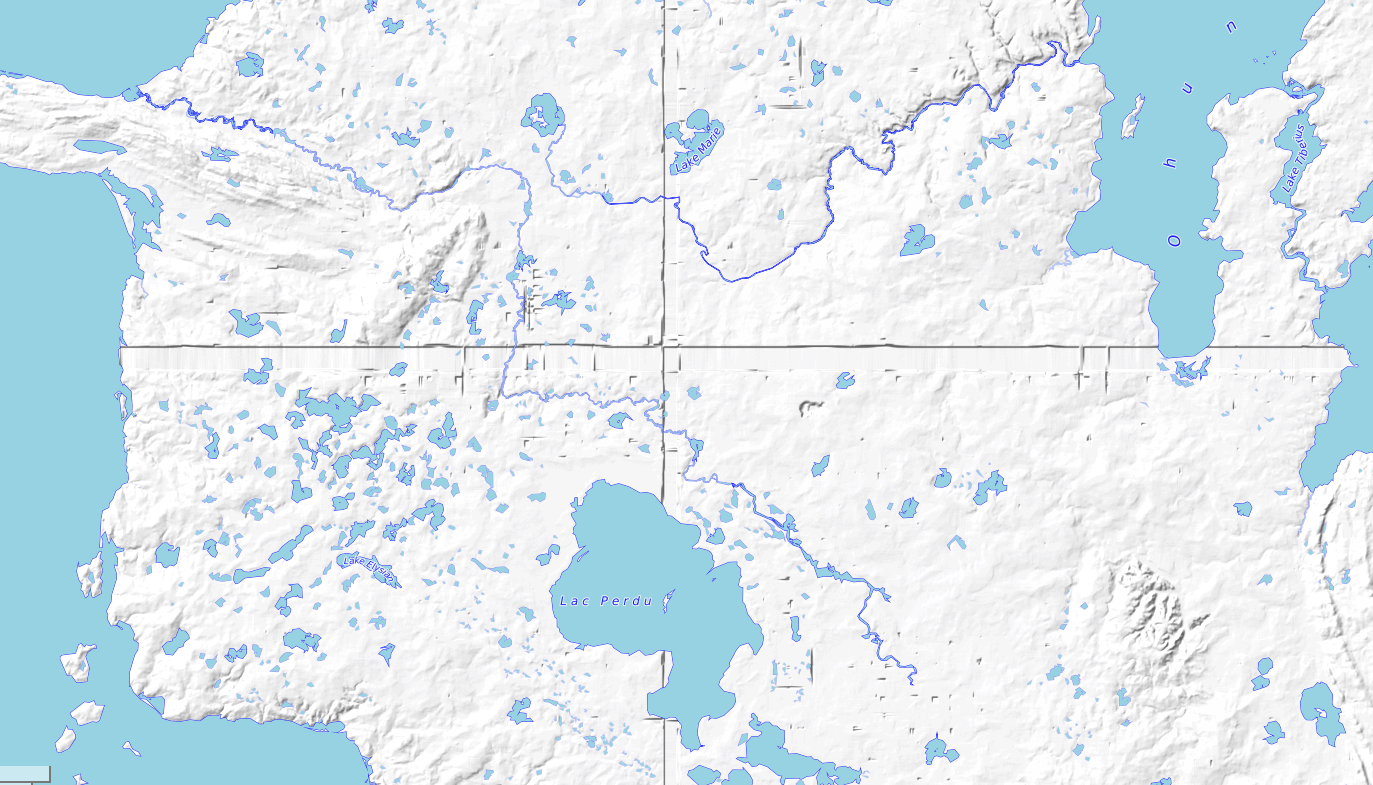
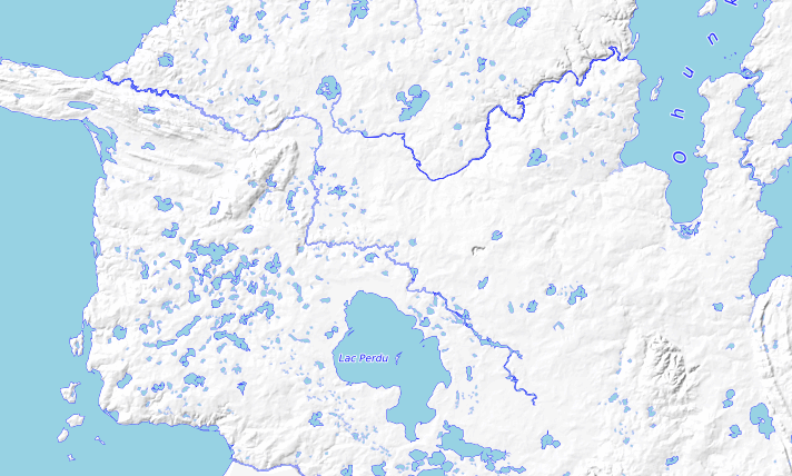
So I have spent a few days trying to find the right set of parameters for the data conversion programs (developed by the founder of the opengeofiction website) to prevent these artificial canyons from appearing. It seems to be a bit of a hit or miss proposition. I’ve got it looking good now, but I’m still not sure quite what the issue is or how to systematically avoid it.
![]()
Caveat: Poem #1375 “Distributions”
ㅁ
The sun shone on me.
A cloud, deep and gray, passed by.
Rain was scattered round.
